February 26, 2021 - Pembroke to almost Duxbury
Welcome to Susan's Bay Circuit Diary! This blog follows my adventures with my dog Sulu hiking the Bay Circuit Trail. To get new posts in your inbox, please subscribe (see the little "subscribe" oval above). The rest of the past posts can be found using the little menu on the left. If you are curious how this all started, go here.
 |
| From the parking lot at S past the purple asterisk and off the map |

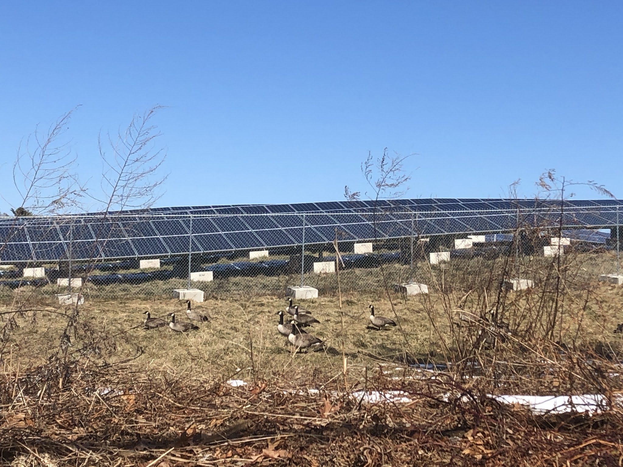
We returned to Tubb’s Meadow to begin the final march to the sea. The BCT forks here, with one branch going north through Pembroke and Duxbury, and the other branch going south through Pembroke, Kingston and Duxbury. A back of the envelope calculation suggested that the northern branch might be shorter, so that’s what I chose. Both branches have about the same ratio of road walking to woods walking.
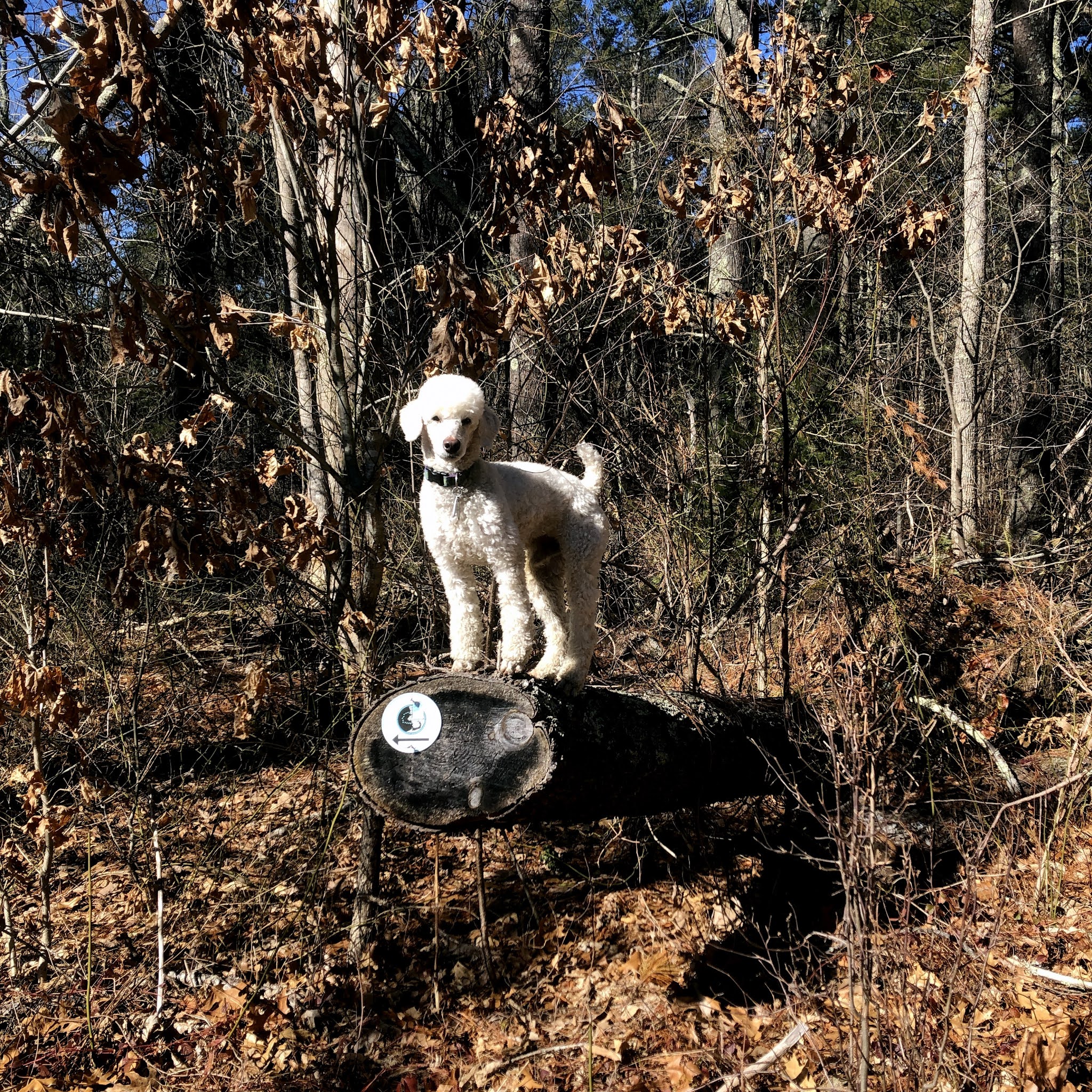 |
| Bear left at the poodle |
It’s a different kind of terrain here. There are more ups and downs and the soil is not sandy. The trail directions said there was an “old well” out there somewhere, but I never saw it. I also missed noticing I was on the glacial esker, which is a shame since I learned about eskers back in Walpole and wanted to experience another one.

I kept hearing random distant shotgun blasts. I wanted to think it was something else like construction noise but I think it was guns.
Blazes became more infrequent after about three miles and I referred to AllTrails a few times to verify my direction.

In the cultivated world, signs of spring are beginning to show, but here in the woods, I haven’t seen any. The plants that are green now have been green all winter. I squinted at some buds trying to discern signs of swelling, but couldn’t be sure.
 |
| One of four water towers in Pembroke |

On the new woods trail the walking was enjoyable but the markings were few. We did see some kindness rocks scattered along the trail. Although the BCT blazes abandoned me, AllTrails was still my friend and I navigated my way without backtracking. Within sight of the road the blazes magically reappeared. I laughed out loud.

We traveled a total of 4.6 miles to the turnaround on Congress Street. I decided to walk roads back the car, which Google Maps said would save me 45 minutes. This is a mixed blessing of course, as Sulu doesn’t enjoy it very much, but it lets me do more trail miles overall. On my walk back to the car, I passed the entrance to a gun club, which explains the noises I heard. Also seen:
 |
| The Lydia Drake Library is a charming one-room private library |
 |
| We saw these "off leash" goats |
 |
| There are 11 of these granite sign posts in Pembroke remaining of the 32 that were installed in 1841 |
We have officially completed Map 13! Only Map 14 to go before the end of the northern branch of the trail.


Comments
Post a Comment