August 14, 2020 - Sherborn: Rocky Narrows
Welcome to Susan's Bay Circuit Diary! This blog follows my adventures with my dog Sulu hiking the Bay Circuit Trail. To get new posts in your inbox, please subscribe (see the little "subscribe" oval above). The rest of the past posts can be found using the little menu on the left. If you are curious how this all started, go here.
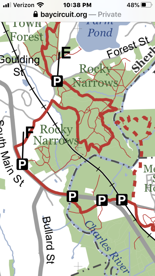 |
| We went from E to F |
The BCT trail guide recommends bringing the map from the Trustees site, and it was essential. I’ve been off the trail for so long that I did not remember my past self not only printing out the map, but highlighting my route and thoughtfully placing it in my hiking bag. Thanks, past self!
Because I’d so recently written up the last hike, I was well prepared: bug stuff, check. Sun stuff, check. Dog treats, check. Unfortunately the bug spray did not prevent getting bit on my right butt cheek. I was fully garbed in wicking everything, but that is the vulnerability of shorts. Unfortunately, a new study showed my previous hiking mask of choice, the neck gaiter, to be completely ineffective, so am now wearing my running-style mask.
The trail started in a meadow with a field of Queen Anne’s lace in the distance. After so much time off the trail, I really noticed the late summer wildflowers, and the air was scented with clethra.

 |
| Joe Pye Weed (Eutrochium, formerly Eupatorium) |
 |
| Goldenrod (Solidago) |
A rare and delightful occurrence of today’s hike is that I did not have to double back on my path. The BCT’s planners have the habit of taking scenic detours around parks on the way instead of taking the most direct route. So the Rocky Narrows route is loop around the park, returning to the road the car is parked about a quarter of a mile away. I planned to go a little further to the next parking spot to get ahead on my next journey.

The highlight of the walk was the only water feature in Sherborn’s trails so far - a canoe landing on the Charles River. The Charles is very meander-y out here - nothing like its Cambridge self. The river itself is narrow and shallow looking, with extensive marshes. The trail climbs to an obscured overlook (could those be more of that volcanic rock?) and it’s marshy as far as the eye can see.

 |
| The Charles River from above |
After the river we trooped on a narrow trail through a bee-loud clethra glade, and then through more shrubby woodlands on cart roads.
 |
| Clethra (Summersweet) |
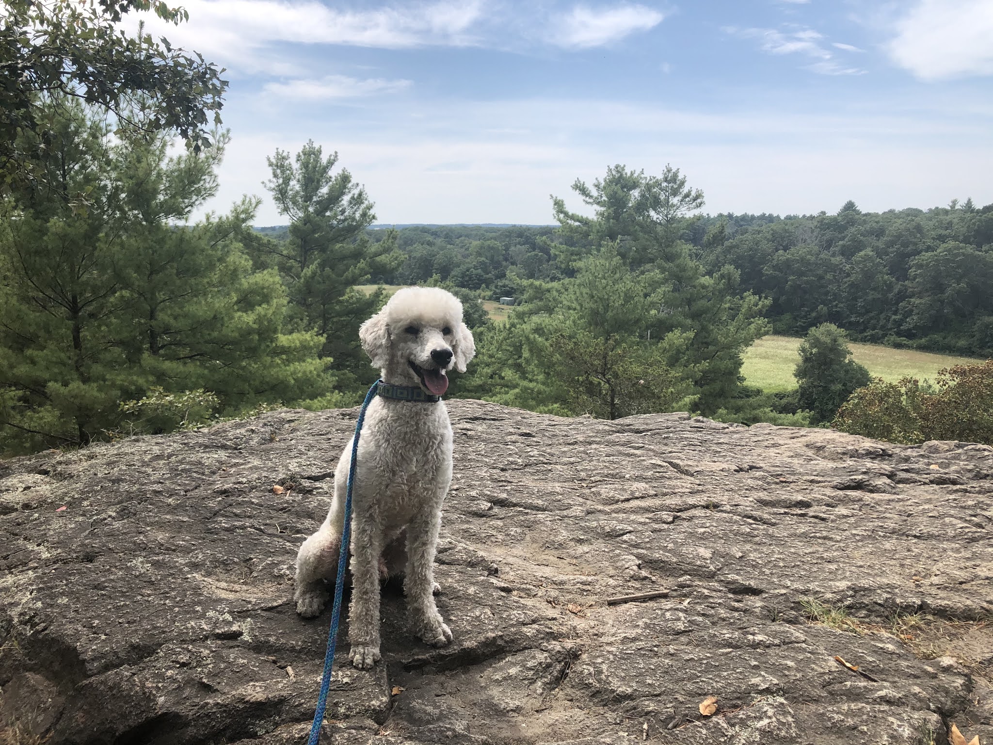 |
| King Philip's Overlook |
The bonus leg of the trail was Road walking on a sidewalk-less sometimes quite busy road to our next parking spot. On our next hike we will finally be leaving Sherborn for the unknown terrain of Medfield.
 |
| Nooo - fall colors! |


Comments
Post a Comment